Hamilton UGRR logoCONTACT
Hamilton, Ohio • Historic Landscape

Places in Hamilton's Underground Railroad Story

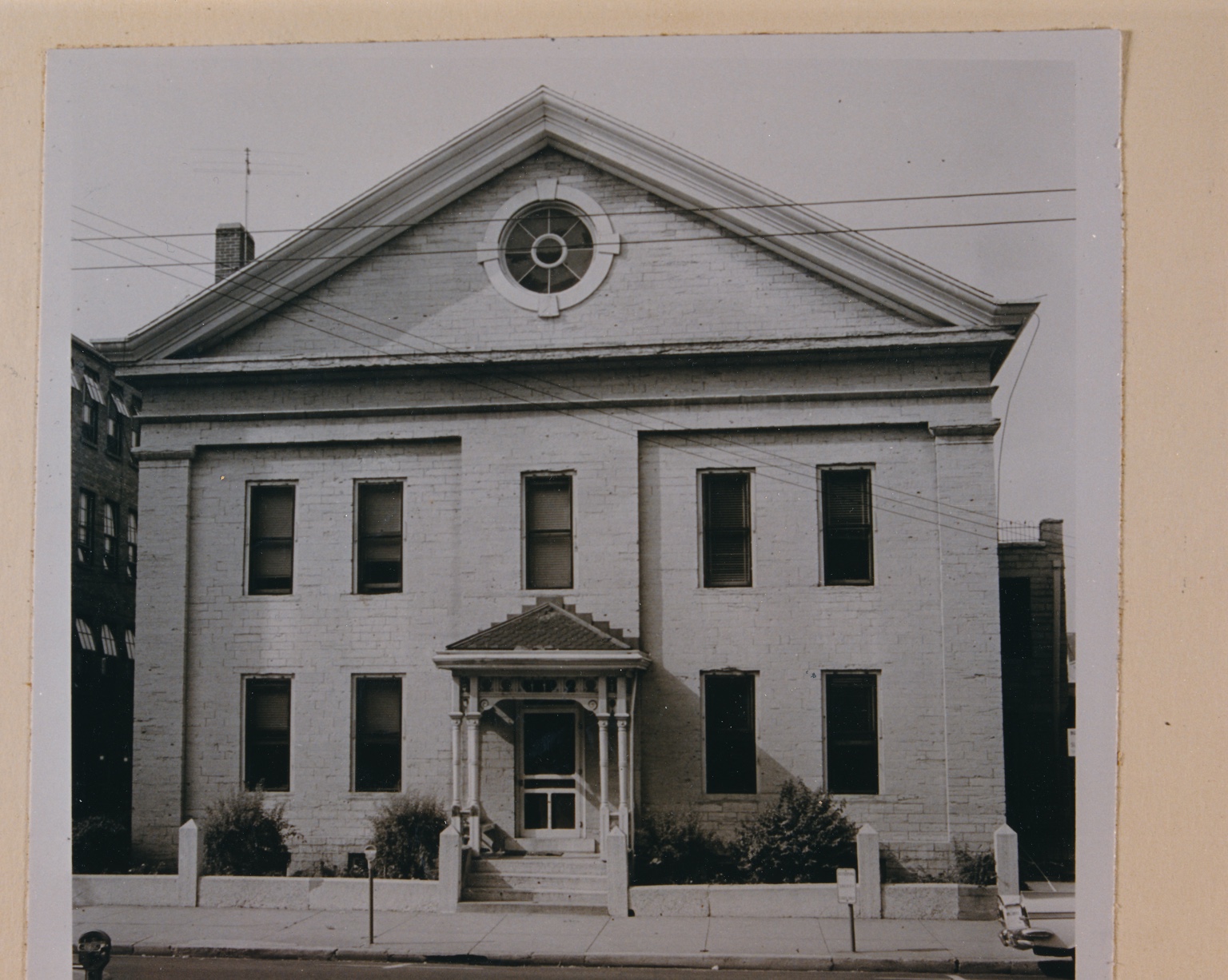
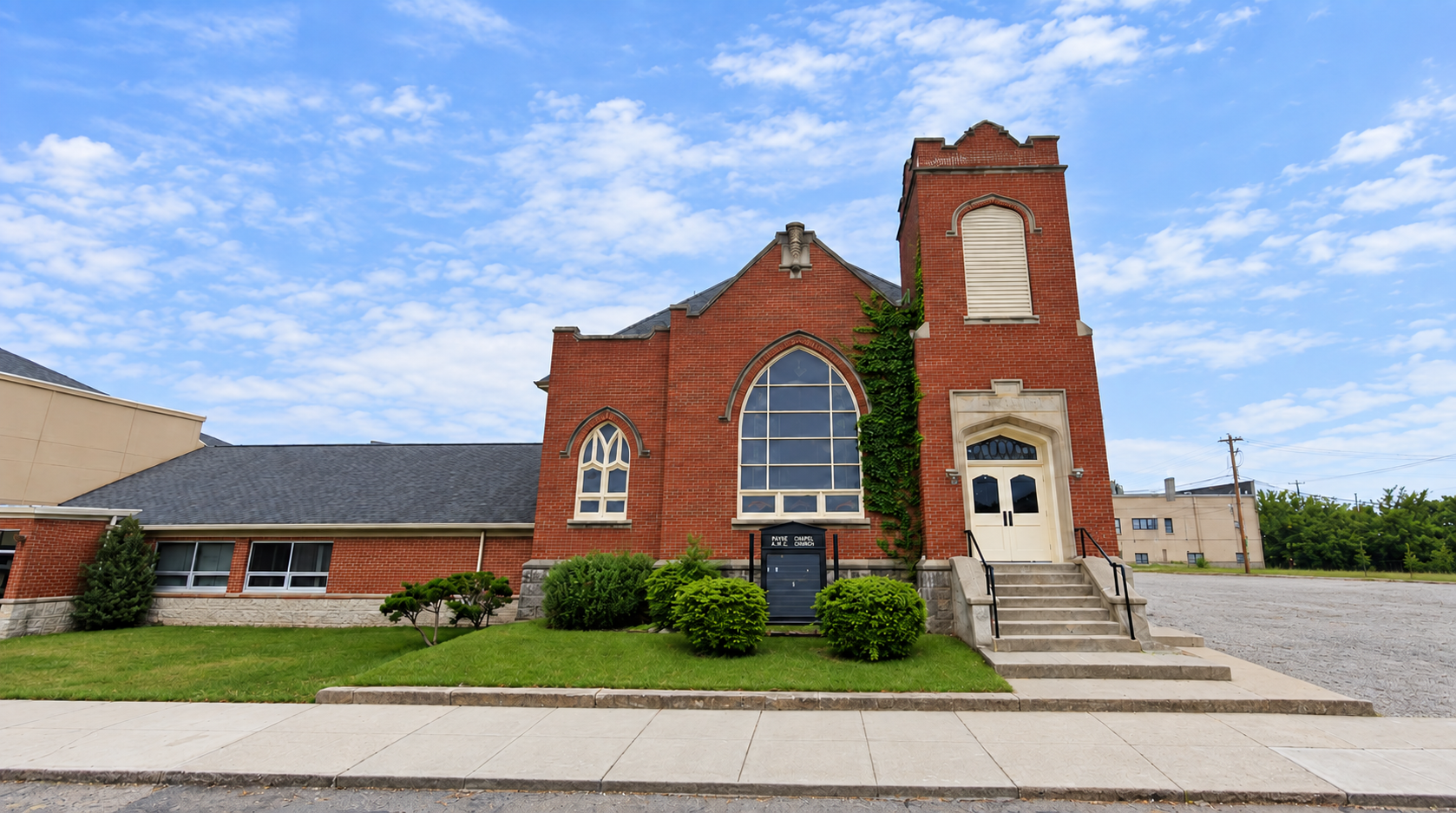
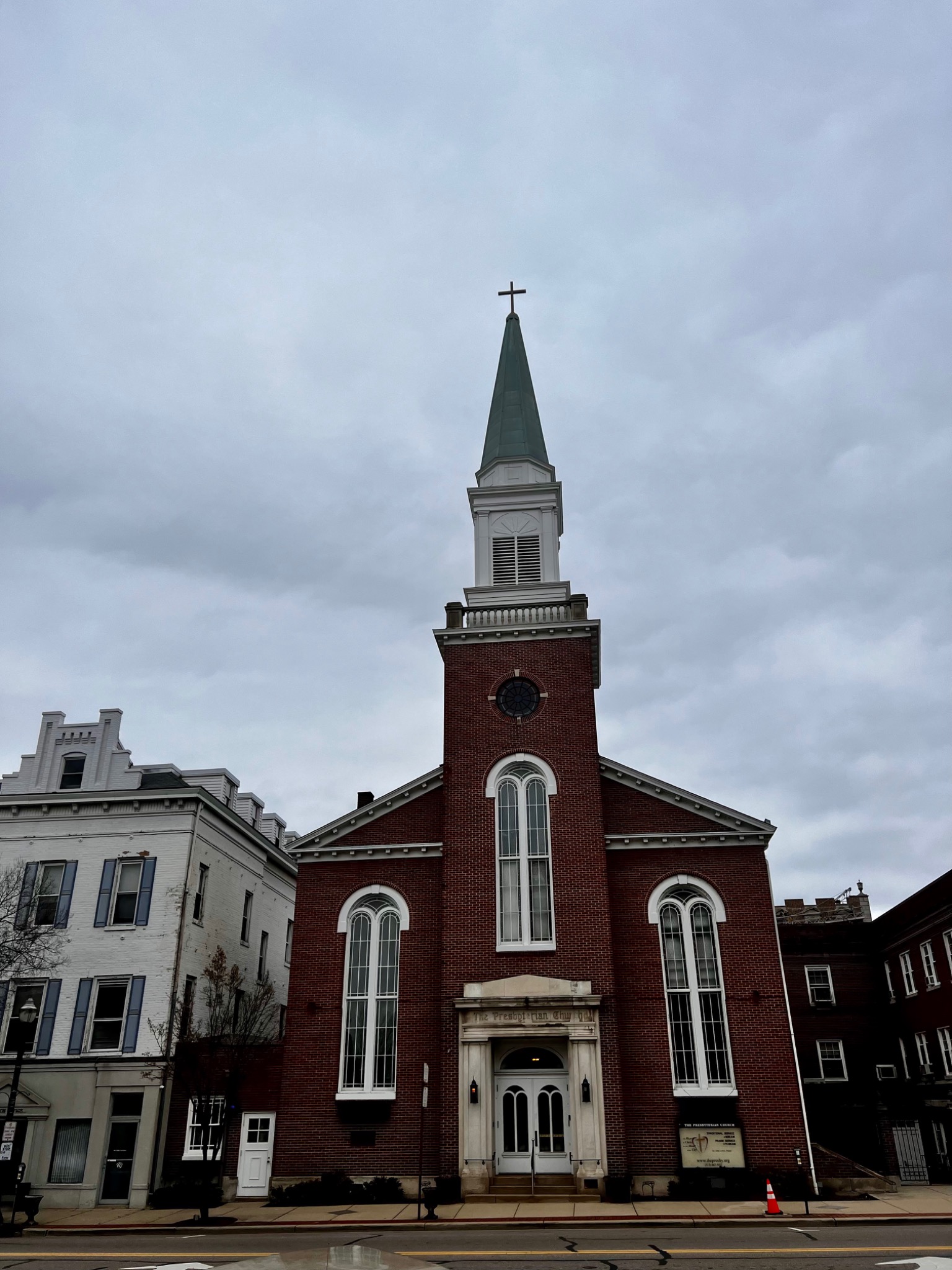
Hamilton's story survives in its streets, churches, public square, historic homes, river crossing, and transportation corridors. These places help reconstruct how legal action, Black community leadership, antislavery churches, and local transportation networks overlapped.

How to read this page

A citywide network, not a single station

The evidence does not point to one building that explains Hamilton's Underground Railroad story. It points to an interconnected community. This page distinguishes direct event sites from institutional context, surviving properties linked to documented participants, and locations still under investigation.

Direct event or route siteConnected to a documented assistance episode or legal action.
Documented institutional siteChurch or community setting tied to Hamilton's antislavery network.
Surviving person-linked placeHistoric property directly associated with a documented participant.
Research locationImportant lead where the exact site or role remains unresolved.
Featured places

Where Hamilton's documented story comes into focus

These locations provide the strongest physical anchors for understanding the local network.

Transportation & landscape

The physical geography that shaped movement

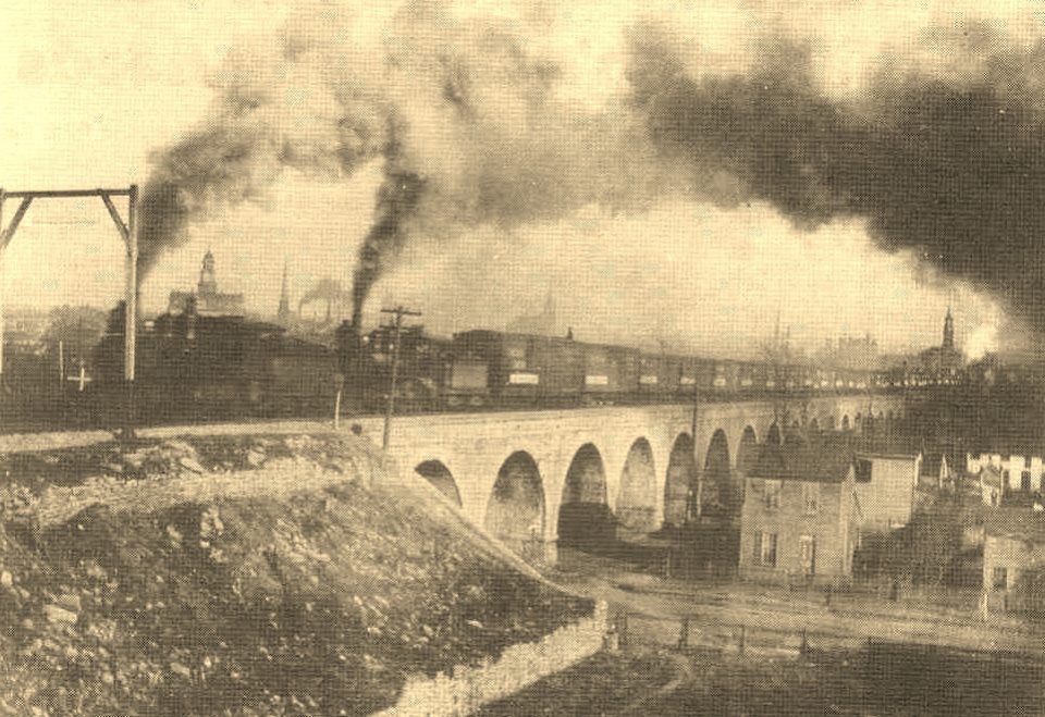
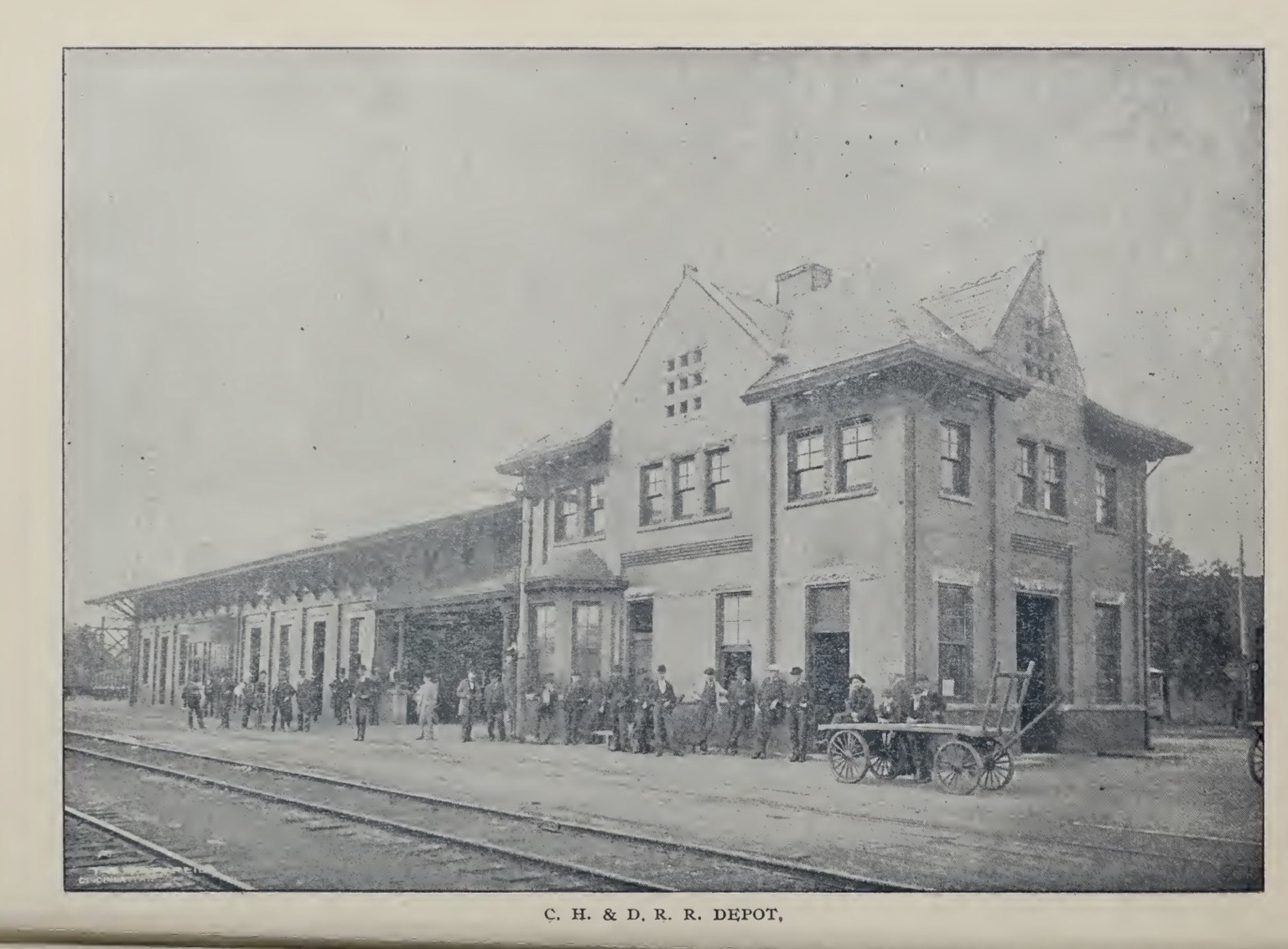
Historic C.H. and D.R.R. depot in Hamilton09

Historic C.H.&D. Railroad Depot

Hamilton had active railroad infrastructure during the Underground Railroad period. The historic depot image helps interpret the city's railroad landscape, but no evidence currently proves that the 1854 freedom seeker used this particular depot building.

Historic transportation context
10

Great Miami River

The river divided Hamilton and Rossville and shaped the route described by McMaken. Treating the river itself as part of the historic landscape helps explain why the railroad crossing mattered.

Documented route geography
11

Rossville / B Street Corridor

After crossing the Great Miami, the documented route continued onto the west side before freedom seekers were moved northwest toward the next network of assistance.

Documented route corridor
Under investigation

Places where the evidence is still developing

These are important research leads, but the website will not present them as proven Underground Railroad sites unless the evidence reaches that standard.

John Woods Residence & Law OfficeCentral person in McMaken's account. Exact receiving property remains unresolved.
McKeen-Hershner Log House / Pioneer CabinResearch summarized from BCHS material places John McKeen's 1817 cabin originally at 209 Park Avenue in Rossville before its 1964 move to Monument Park. McKeen was a cooper and Presbyterian ruling elder. The cabin is a surviving Presbyterian-network site, not a documented Underground Railroad station. Explore the context →
Beckett Paper Mills / Hamilton Hydraulic AreaImportant Woods-Beckett civic and industrial context with a direct McMaken research lead, but not yet a proven assistance site.
Evidence standard: A place where an Underground Railroad event is directly documented, a surviving property associated with a participant, an antislavery institution, and a later contextual landmark are not the same category. The site keeps those distinctions visible.